With some of the most gorgeous scenery in the Alps, there are inevitably some fine walking trails through the Swiss countryside.
Whether you’re looking for a short hike to fill a morning or want to take on a challenge on an altogether more demanding scale, here are five of the best walking routes in Switzerland.
Aletsch Panoramaweg
Length: 12.4km
Get unimpeded views of the immense Aletsch glacier, Europe’s longest at about 24km (15 miles), with this walk from Mörel to Fiesch.
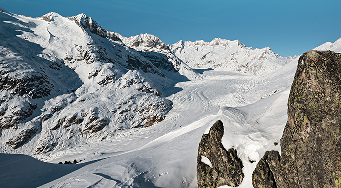
Taking you through the dramatic landscape of the Bernese Alps, the walk passes by Lake Märjelen on the edge of the glacier and isn’t complete without a stop at the mountain restaurant to recoup with local pastries.
Splügen Pass mule track
Length: 68km
This pass, which stretches from Thusis to Chiavenna in Italy, is thought to be 2,000 years old and was used in the 19th century by mules hauling goods from Munich to Milan. On the climb lies Splügen, one of the oldest and most authentic alpine pass villages in Graubünden, and today a small summer and winter sports resort.
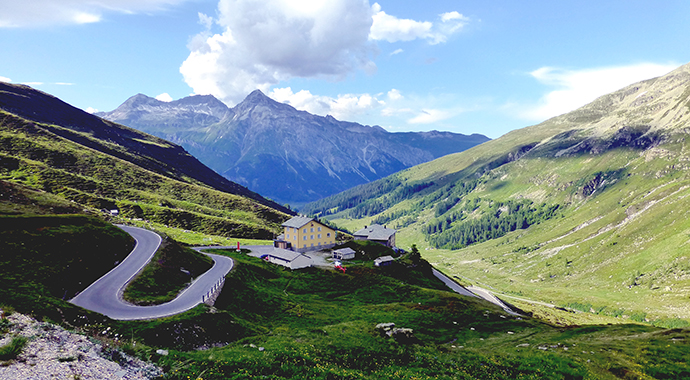
End your trek in the Italian hamlet of Isola, or continue on through the mountains all the way to the lovely market town of Chiavenna.
The Swiss Path
Length: 35km
Few of Switzerland’s thousands of footpaths are given a name but an exception was made in 1991 when this 35km route beside the Lake of Uri was created to mark the 700th anniversary of the Swiss Confederation. Each canton assumed responsibility for a section, their lengths determined by the population of the cantons.
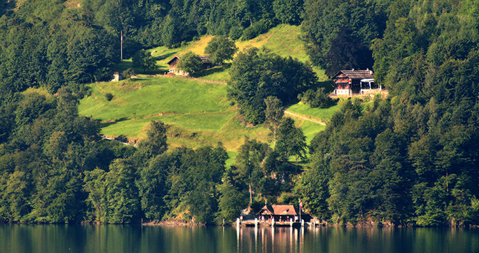
Stretching from Brunnen to Rütli, the well-signed path can be joined or left at eight steamer piers, three SBB stations, numerous bus stops and the Treib–Seelisberg funicular. It is a wonderfully varied walk, some sections being beside the water, others giving wide panoramas over the lake and nearby mountains.
Creux du Van
Length: 14km
The extraordinary bowl of the Creux du Van, forming a natural amphitheatre in the mountains above Lake Neuchâtel, should not be missed; its scale and the views over the surrounding countryside are stupendous, and it has been described as the most impressive feature of its kind in Europe.
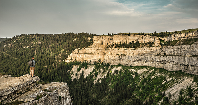
It is also the highest of the Jura peaks in the area, at 1,465m (4,806ft), and has a nature reserve for roe deer and chamois. There is a cycle route and footpath around it which can be started from Noiraigue station.
Albula Railway Adventure Trail
Length: 8km
The 8km Albula Railway Adventure Trail from Bergün to the next station at Preda enables walkers to follow the train path of the spectacular UNESCO World Heritage Rhaetian Railway that passes through dramatic landscape of steep slopes, viaducts and the Albula river.
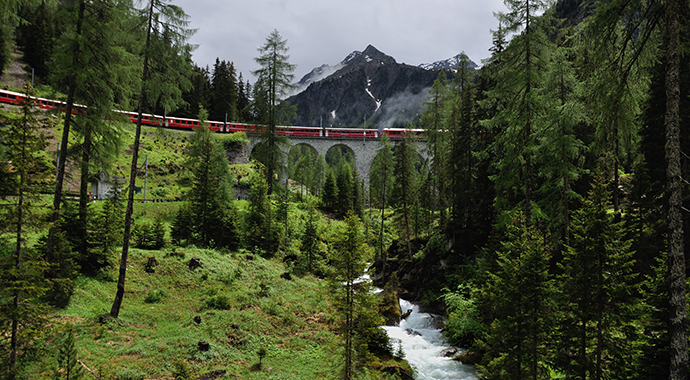
The innovative railway line, which engineers contrived through an ingenious series of loops and spiral tunnels, can be seen at close quarters via information boards and seats at suitable points.
More information
For more information, see our guide:
